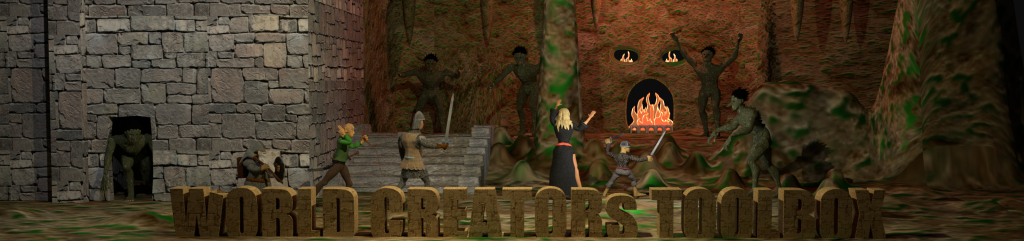
I am looking at some of my earliest digital maps today. I have a couple of images of a world I developed called Khadath. I had purchased Tunnels & Trolls (the boxed version with the Corgi books paperback) and I wanted a different kind of setting to play it in. The maps were created on a long since forgotten DOS image program.
 |
| Khadath Setting authour early 1990s |
But one thing I do like about this map is the world depicted is an island-continent centered on the north pole of a world. This is something that always fascinated me. It would have to be a significantly warmer planet. I have jungles and deserts 500 miles or so from the pole. If the planet had a significant axial tilt you could have snow in the winter but I believe the thought was a temperate game world.
The concept was a dying world where the survivors have moved to the far north as the planet gets hotter. Great civilizations existed in the past and the ruins are still present. So delving is an important pastime to locate useful material for the dying, resource poor world.
All lot of the place names came from the Commodore 64 computer game Exodus Ultima IV. That game had a lot of enormous dungeons with names like “Moon Gate” or “Fires of Hell”. I had envisioned a world with walled settlements clinging to the coastline, trading by sea as the interior is overrun with goblinoid races and trolls. At the same time the location of well known lost civilization ruins are marked on the map and are well known to all.
The risks of venturing out into the badlands outside the cities are outweighed by the riches that could be found in the ruins deep in the earth.
The second map is a closer view of the town of Kosht which was the starting citadel - city state for the players in the campaign.
 |
| Kosht |
The more I look at these maps the more I want to create a new version with more original names for a Classic Runequest setting.
No comments:
Post a Comment